Week 1 · Townside plan
Name and locate my school and local features.
Open the lessonKnowledge organiserPupil resourcesWord packSlidesTeacher notesVideo
Week 2 · Townside practice plan
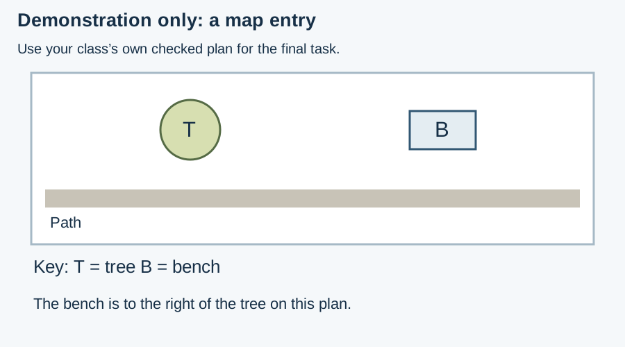
Use a simple map or plan of a familiar place.
Open the lessonKnowledge organiserPupil resourcesWord packSlidesTeacher notesVideo
Week 3 · Townside plan
Compare my place with a contrasting place.
Open the lessonKnowledge organiserPupil resourcesWord packSlidesTeacher notesVideo
Before teaching: bring a checked plan of your own school and two local features. No pupil home address is needed. Made by Matt.
Week 4 · Fieldwork in our grounds
Carry out simple fieldwork in the grounds.
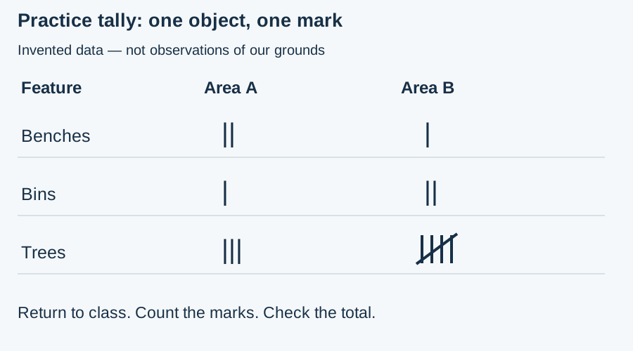
Before teaching, an adult checks an accessible route: classroom to study area A, then area B, then classroom. All stops stay inside the school grounds, away from roads, vehicle movements, water and out-of-bounds areas. Mark two non-overlapping counting areas and boundaries on the route sheet. Keep the group supervised under school arrangements. Count fixed features only; take no photos of people and collect no personal details. If conditions or staffing prevent fieldwork, use the supplied PRACTICE tally indoors and record that fieldwork participation is not evidenced.
Week 5 · Continents and oceans
Talk about the wider world using continents and oceans.
Use the original SVG labelled simplified teaching map, not to scale. It shows seven continents and five oceans, without country borders. The UK is marked by a small dot and callout in Europe; it is a country, not a continent. Use Australia as the continent name in this seven-continent convention. The Pacific appears at both edges of the flat map and is one ocean. Check a globe if available; the flat map distorts shapes and sizes.


Week 6 · Our class map
Record local features on a class map.
Reuse the class’s own checked plan from earlier local work. Before teaching, confirm its orientation, key and permitted area. Bring checked Week 4 observations and each learner’s earlier map, comparison and world-location work. Use existing photos of places only if suitable; no photographs of people or home addresses. If Week 4 used invented practice data, do not transfer those counts or locations to the real class map. Verify a real feature with an adult observation or checked school plan first. The supplied demonstration plan is practice only.